- maps for design purposes
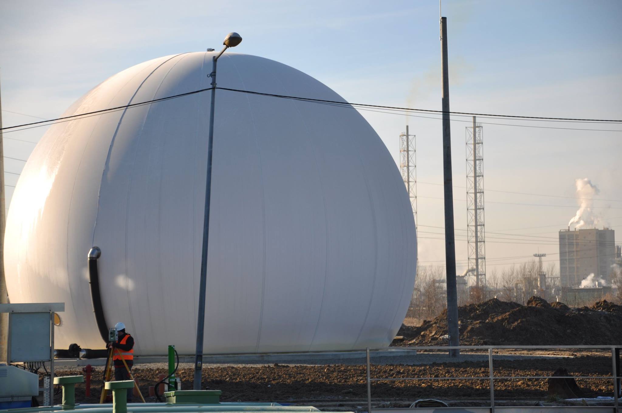
- situational and situational-altitude measurements
- staking out of buildings
- property divisions
- border reinstatements
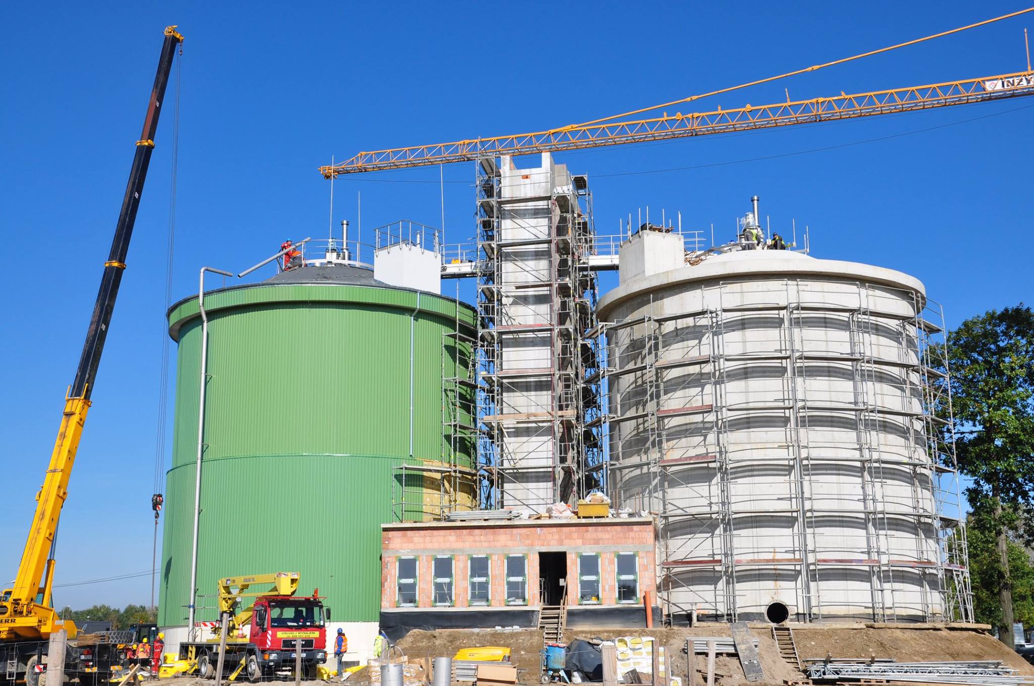
- inventory measurements (post-construction)
- vectorization of raster maps
- development of numerical maps based on
- provided materials (dgn, dxf, dwg)
- other geodetic works